This post is a collaboration between Dylan McQueen and I. Feel free to check out his blog here.
The goal in doing this UAS platform consulting report was to create a technical report that gives a future client or employer three tiers of drone choices. The first and most basic tier is the hobbyist or low level commercial, which ranges in price from $1,000 to $3,000. For this first tier the report has included the Yuneec Typhoon H UHD, DJI Mavic Pro, and DJI Phantom 4 Advanced. While to the average consumer may look at these as toys, when used for the right purpose, they can serve to be very useful tools for a variety of reasons in the field. The next tier included in the report is the Mid-Level Commercial drones, which ranges in price from $5,000 to $30,000. Included in this tier is the DJI Inspire 2 and eBee X. This tier is when you can actually start putting a high end camera or sensor on the platform. The third and final tier looks at high end commercial drones not including military, which ranges in price from $50,000 to $150,000. The report has included the C-Astral Bramor ppX and the InSitu Group Scaneagle A-15.
When looking at introduction level drones, the average consumer would assume that these are merely toys, but in the right application can prove to be very useful tools. DJI has always been known for their ease of use and a simple camera upgrade can allows these drones to be a viable asset in the field. The first and most cost efficient drone to look at in this category would be the DJI Mavic Pro. This drone costs $999 on DJI’s website and is ready to fly out of the box. The Intelligent Flight Battery allows for an absolute maximum flight time of 27 minutes when outfitted with the standard 4K camera on a 3-axis gimbal. The Mavic Pro comes with a compact controller with a range of 4.3 miles and is capable of HD 720p long range and Full HD 1080p short range. It’s compact size allows it to be one of the best drones to carry along when traveling.
Another drone to look at in the hobbyist or low commercial tier is the DJI Phantom 4 Advanced. On DJI’s website the drone is sold for the price of $1,199, which is a bit more expensive than the DJI Mavic Pro. The Phantom 4 Advanced includes a remote controller with a built in screen with a transmission range of 4.3 miles. The Intelligent Battery allows for a flight time of 30 minutes with the standard camera and gimbal. The mechanical shutter eradicates rolling shutter distortion when capturing images of fast moving objects.
When using the Mavic Pro or Phantom 4 Advanced for agricultural assessment the report includes an upgrade option that includes a Sentera High Precision NDVI camera. This upgrade allows for the collection of ultra-high-resolution color and NDVI imagery at the same time to scout crops with precision, identifying problem areas in the field. The upgrade is only $2,199 for both platforms and installing the upgrade is as simple as sending the drone into Sentera. When purchasing the upgrade, it includes a FieldAgent annual subscription that allows the customer to produce NDVI crop health maps with photos that are geotagged and time stamped. The goal of the mission would be the deciding factor on whether this upgrade is needed or not.
The DJI Mavic Pro and DJI Phantom 4 Advanced are pretty comparable straight out of the box. The main differentiating factors include the camera and collision avoidance sensors. The Phantom 4 Advanced is capable at shooting 4K at 60 frames per second rather than the Mavic Pro’s 4K at 30 frames per second. The Phantom 4 Advanced is equipped with 5 vision sensors for 2 directional obstacle sensing and forward vision obstacle avoidance when the Mavic Pro just has dual forward and downward vision sensors. With this being said, for an entry level customer the DJI Phantom 4 Advanced would be more successful in detecting and stopping a collision with an obstacle when considering the pilot’s low level of experience.
A huge drawback of all DJI drones is their inability to fly in several types of airspace. This includes not being able to fly close to TFRs and airports. While Geo-fencing ensures safety protocols regarding airspace are being met, it limits specific areas of operation even if the operator has all the necessary authorizations and permissions. While DJI products are certainly user friendly, they do have their limitations.
The third and final drone in the hobbyist or low level commercial tier is the Yuneec Typhoon H UHD equipped with Intel RealSense Technology. The Typhoon H provides the capabilities found in commercial platforms for the reasonable price of $1,393.70 and is ready to fly out of the box. This drone is equipped with features also found on the more expensive DJI Inspire including a removable 360 degree rotating gimbal and retractable landing gear. The Typhoon H has a reasonable flight time of 25 minutes when equipped with the 4K UHD camera. The ST16 android powered transmitter has a 7-in touchscreen that displays real time HD 720p footage during flight. Equipped with obstacle avoidance the Intel RealSense technology builds a 3D model of its surroundings to make intelligent flight paths to prevent a collision. Not only does this technology avoid obstacles in real time, but it also is capable of remembering it’s environment and the location of obstacles to better avoid them. The Typhoon H is able to become compact considering each of the six arms folds down to make traveling a breeze.
To ensure safety, the Typhoon H stays compliant with the FAA with the No Fly Zone feature. This feature prohibits flight near commercial airports and flight above 122 meters. The built in GPS prevents the drone from taking off and landing within an 8 meter diameter circle around the operator. It also creates a geofence that keeps the drone from travelling a distance more that 91 meters from the operator.
A great upgrade for the Typhoon H to transform it into an agricultural mapping drone is the Sequoia+ Multispectral Sensor by Parrot. This sensor packs a huge punch in such a compact size weighing only 107 grams with a price tag of $3,500. This sensor has 4 spectral sensors including; red, green, Red Edge, and Near IR. It also includes a sunlight sensor that compares incoming light to provide a truly calibrated image which allows for operations in any degree of sunlight condition. Since the sensor is paired with a GPS receiver, it is able to geotag all the images in all the spectral bands during flight. This sensor is ideal for analysis of vegetation growth and crop surveying.
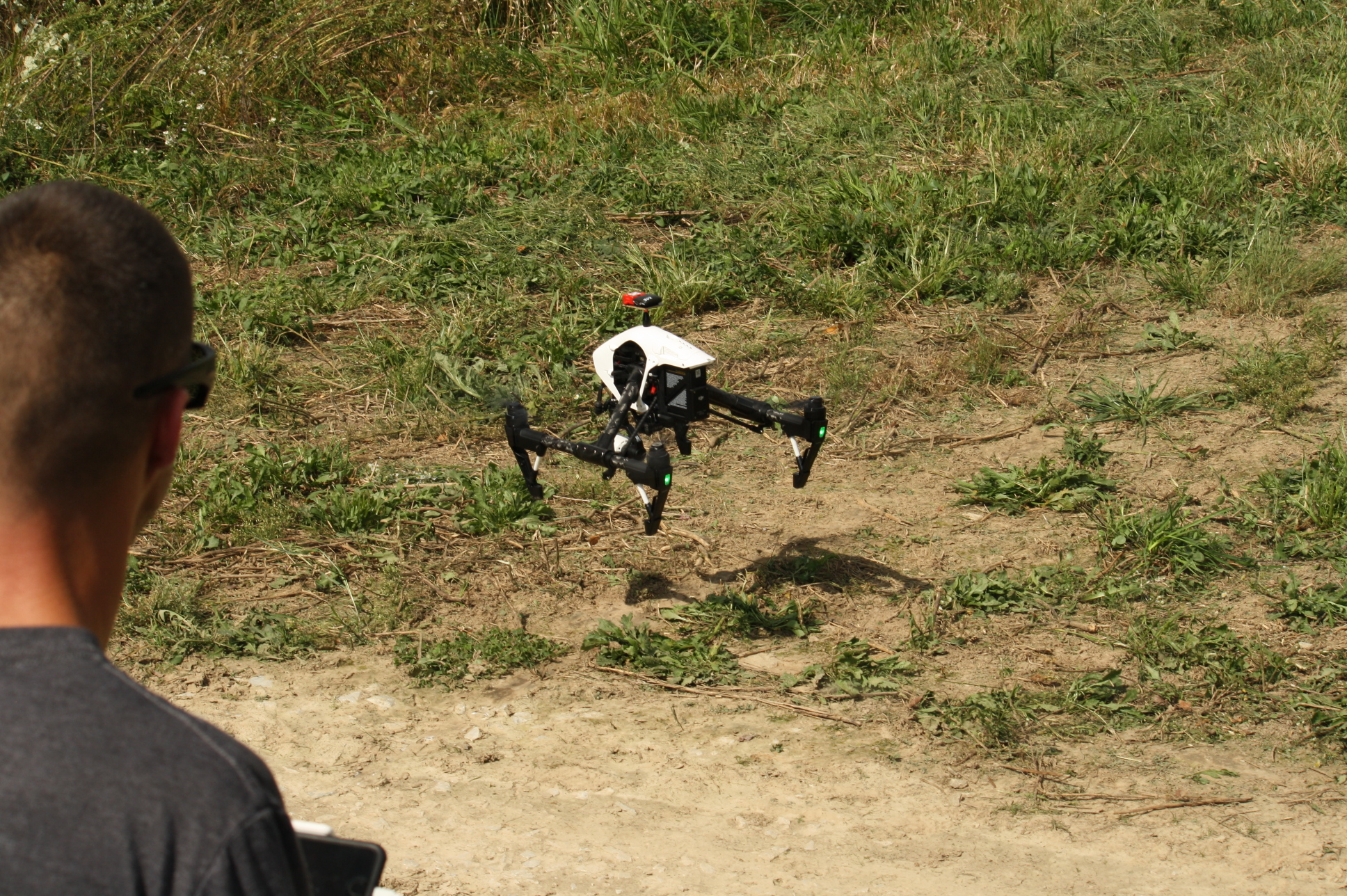
Perhaps one of the first UAS that the average person would consider being used in a commercial sense is the DJI Inspire 2. Costing $2,900 at the base price, it features up to 27 minutes of flight time when carrying a Zenmuse X4S gimbal and has a number of cameras that can be interchanged for different uses. During flight, it can lift its arms up to stay further out of the camera’s view in cinematic shots. The radio used for both control and video link can reach up to 4.3 miles and can send a live video feed out for use in TV and live news.
One limitation to the Inspire is its relatively limited number of officially supported cameras. These cameras are all from DJI’s Zenmuse line and vary from the Zenmuse X3 with a 12.4 megapixel sensor to the Zenmuse X7 which supports 24 megapixel images over a 23.5×15.7 mm sensor. While these may be useful for cinematography and have features like D-log support and Apple ProRes which are highly sought after within the film industry, they are not as good at imaging in mapping missions as their competitors due to the manual zoom. Third party sensors such as the Micasense Red Edge or FLIR Duo Pro R can be added but these can carry their own problems related to poor integration to the existing flight controller.
Like all DJI products, the China based company has taken measures to prevent airspace violations by their users. This means that all DJI products will obey TFRs and avoid flying too close to airports even if the operator has received all appropriate permissions and authorizations. For this reason, the Inspire has a limited number of applications and should be avoided if the intended use includes infrastructure or operations around airports.
While the Inspire is aimed primarily at the cinematography industry, the Sensefly eBee X is aimed towards the agricultural and surveying industries. It can fly for up to 90 minutes and cover 550 acres in a single flight with the possibility of going up to 1250 acres in the right conditions. It can also carry a large collection of sensors capable of imaging with RGB, multispectral, and FLIR sensors. Unlike all the previous aircraft, the eBee doesn’t have live video output due to the specialized nature of its design.
A major selling point of Sensefly’s aircraft is their ease of use. The aircraft is controlled by a laptop and is completely autonomous from takeoff to landing and it even automates the data offload process once the flight is complete. Sensefly has also been known for having great customer support when problems arise, even going as far as occasionally replacing hardware not covered under warranty. The company also takes a much different approach to DJI by allowing users to fly in TFRs and controlled airspace unhindered. The software can display the controlled airspace using Airmap but it won’t prevent users from violating the airspace.
While the eBee does have a lot of features and is very easy to use, it does have some drawbacks. While the eBee X doesn’t have a listed price online, its smaller cousin, the eBee Classic, has been known to be well over the $15,000 mark, making it one of the more expensive systems in its class. Ever since Sensefly was bought by Parrot, a company with a relatively poor reputation, there have been talks online about whether or not Sensefly would start cutting back on customer support and other areas but so far this has not happened.
Like any other aircraft, the eBee can be outfitted with a number of accessories which can improve the overall experience of the aircraft. Among these is an optional ADSB receiver which can be connected to the controlling laptop. The device can read the ADSB transponder codes from aircraft in the general vicinity and show them on the operator’s controls. The eBee also supports the addition of a VHF beacon onboard to recover the aircraft in the event of an unexpected aircraft loss.
When performing missions that require quick launches and a long endurance, the C-Astral Bramor ppX is an ideal option. It features a 3.5 hour flight endurance and support for PPK based geotagging. The aircraft can carry a wide array of sensors including 24.3 megapixel RGB and NDVI cameras, multispectral cameras, a laser mass spectrometer, and a hyperspectral sensor. The wide array of supported sensors makes this platform great for many different applications including precision agriculture and surveying of pipelines.
One potentially limiting factor of the Bramor ppX is its landing system. The parachute landing system it utilizes is capable of landing within a 20 meter radius of the target which is the largest of all the aircraft being discussed today. To put this into perspective, a football field is approximately 48 meters wide.
In a similar fashion to Sensefly, C-Astral has avoided sharing the price of their aircraft, however they do state on their website that training is included in the cost of the purchase. The Bramore also takes a similar approach as the eBee with regards to its flight control software. A single program on a tablet is used for mission planning, flight controls, and postflight data management. It does however appear to have better control options than the eBee due to it allowing the operator to manually enter waypoints to be flown.
Since the Bramor is designed for long endurance, it has accessories that go along with it to increase the range, namely an antenna tracker with a directional patch antenna. The patch antenna increases the effective range of the Bramor to 40km when remaining within line of sight. Other accessories include a pneumatic catapult for cold weather, a VHF emergency locator beacon, and a survey grade IMU used for improving the geospatial accuracy of the sensors.
On occasion, there are missions that require an aircraft with extremely high endurance, good reliability, and almost no landing area. A great example of this would be monitoring wildlife in the sea where landing areas are only provided by boats. The Insitu ScanEagle is capable of a flight endurance of 18.5 hours and can carry infrared or RGB cameras and has support for a synthetic aperture radar which can be used for ground imaging in poor weather conditions.
The ScanEagle’s takeoff and landing procedures are about as unique as its payload. The most common method of takeoff is achieved through the use of a catapult while a single cable draped from a crane is used to land. This system however has the limitation of requiring large amounts of equipment, so Insitu developed the Flying Launch and Recovery System, or FLARES. This system uses a multirotor to lift the ScanEagle and drop it when a sufficient altitude is released. To land, the multirotor lowers a cable which the ScanEagle hooks onto just like in the crane landing.
Contrary to what many may believe, the ScanEagle is not classified by the military and is ITAR-free, meaning nearly anyone can purchase it. All versions of the ScanEagle also cost less than $100,000 which puts them well into the range of possibilities for large commercial operations. This system would be particularly useful for mapping wildfires with full motion video due to its live video feed and long endurance.
Another fact that sets the ScanEagle apart from its competitors is the existence of a Type Certificate Data Sheet for the aircraft. Normally used for airframes, powerplants, propellers, and accessories for manned aircraft, a TCDS gives a large amount of information about the aircraft such as what motor it can use and the CG range of the aircraft. The TCDS shows that the aircraft is only capable of flying in daylight visual flight rules and can’t fly through visible moisture. The document also specifies a large number of other limits of the aircraft which can be viewed by anyone on the internet.